.webp)
.png)
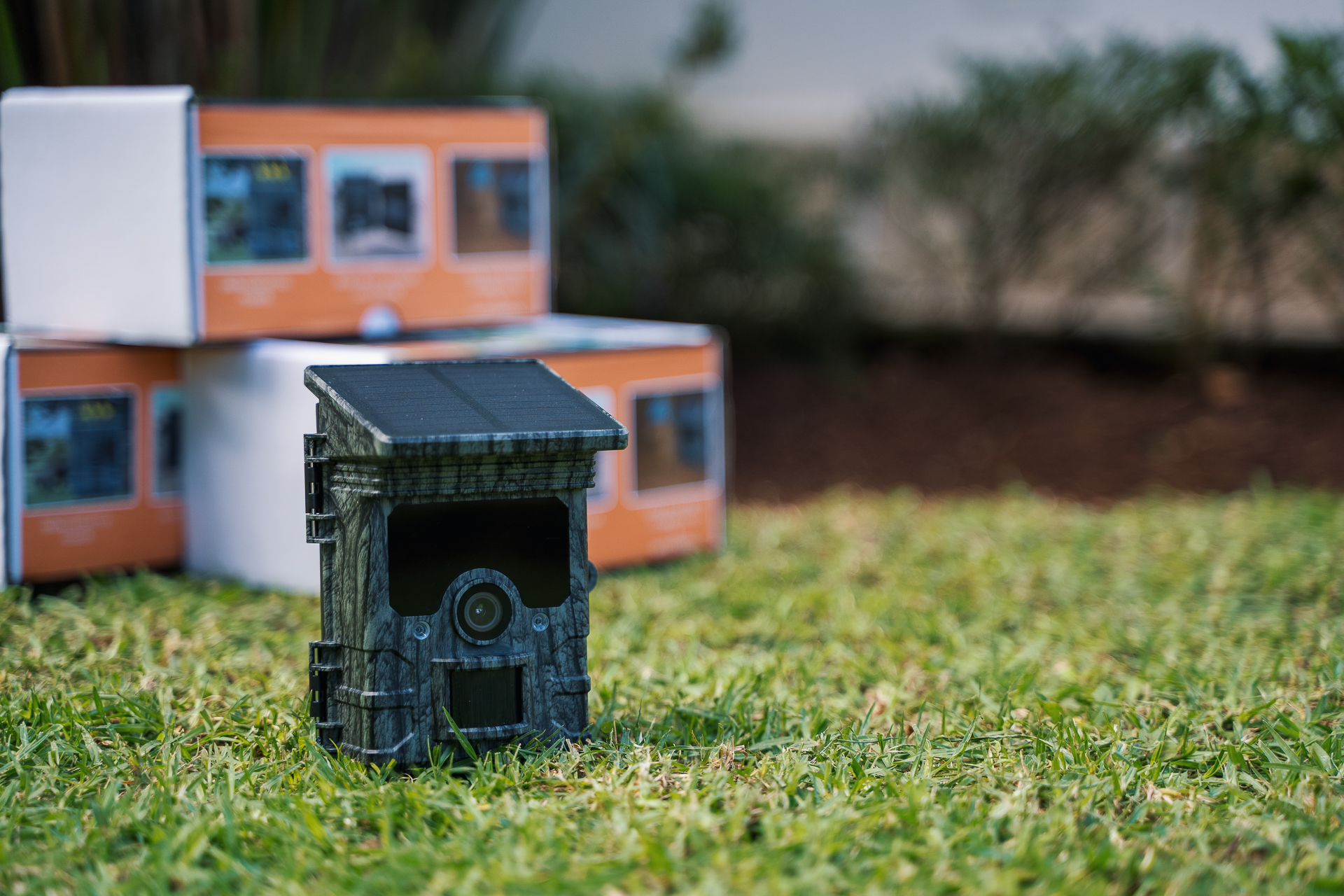

Every two weeks, a time-lapse camera films a square of mud where crabs come and go. This is the protocol for the international GLOW program, in which Bôndy is participating until December 2026. The goal: to include Madagascar in a global database on the health of wetlands.
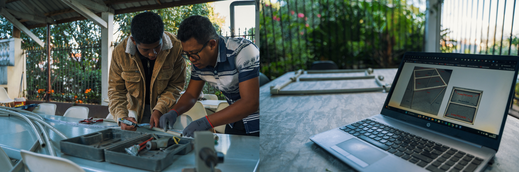
Most restoration projects stop at the canopy. We look at the trees, count the hectares, and estimate the stored carbon. GLOW, the Global Wetlands Project, looks underneath.
The program places mangrove fauna at the center of its assessment: crabs, fish, and mudskippers. Not for their intrinsic value, but because they are bioindicators. Their return signals restored ecological function; their absence signals the opposite.
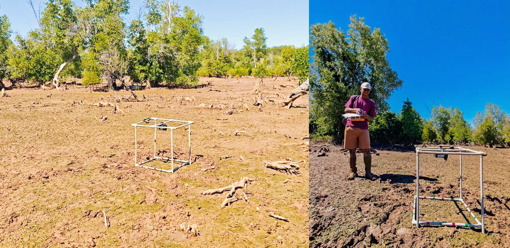
Every two weeks, agents set up time-lapse cameras at three types of sites: dense, degraded, and planted. The images are recorded using KoboCollect, the United Nations' data collection tool. The GLOW mobile app, currently in development, will soon centralize these wetland health indicators.
Madagascar is thus entering a globally comparable dataset, alongside Australian and South African sites monitored under the same protocol. Bôndy is leading the Malagasy mission through December 2026.
These three methods measure different things and overlap: drones document the canopy, soil coring measures carbon, and GLOW tracks the fauna. None makes the others redundant.




.jpeg)

.png)

.jpeg)



.jpeg)


.jpeg)


.png)


.webp)